
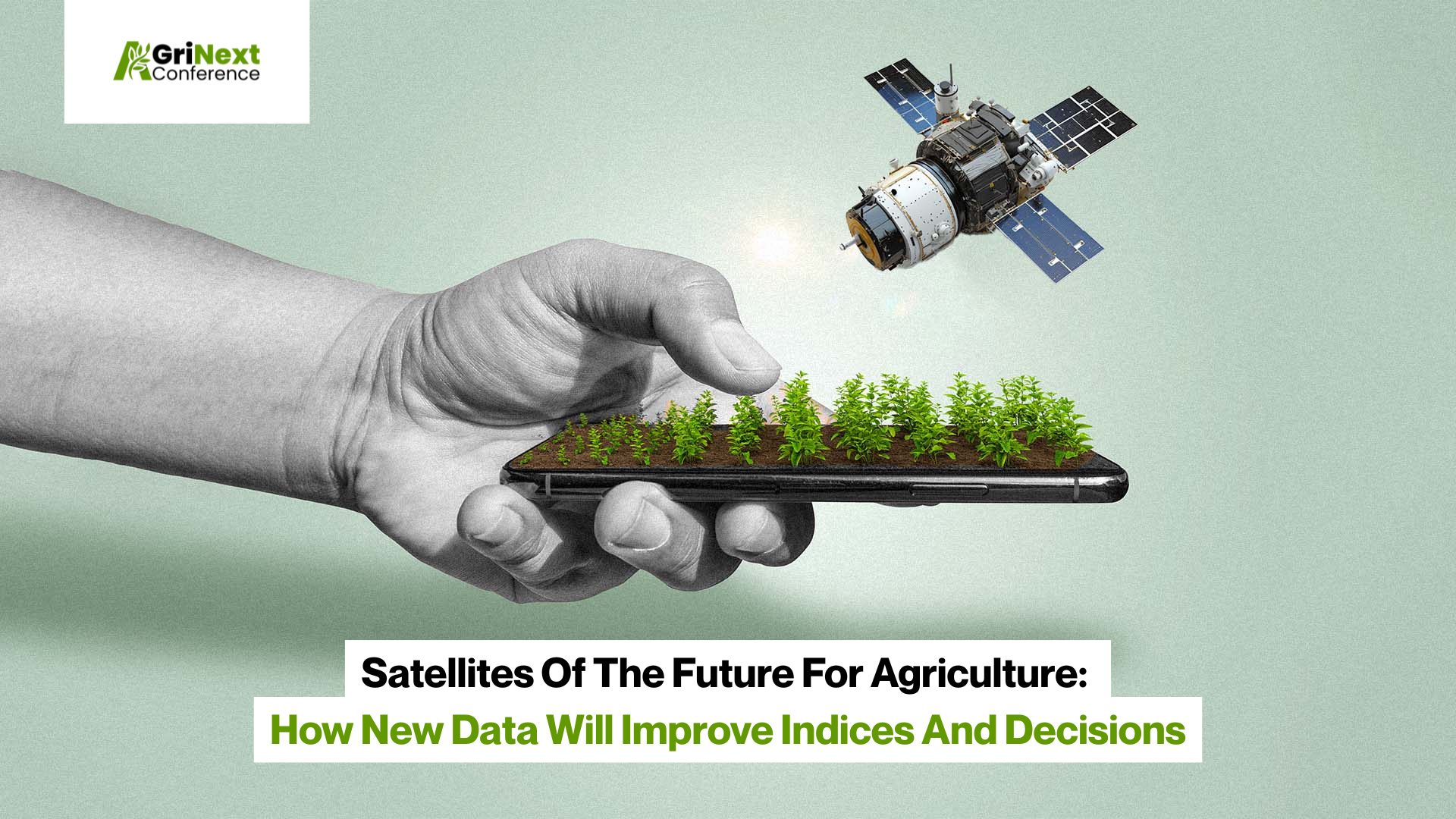

Let’s be honest: farming has always felt a bit like gambling. Growers usually relied on the old “spray and pray” strategy. Luckily, we face the next evolution of technologies engaging in this modern yield survival. Current satellite images that offer sharp, real-time insights are transforming vague historical data into the specific, proactive decisions that save money right now. Along with standard indices like NDVI (which are of course very helpful), tractor drivers and farmers can protect their margins and crops, even being more effective regardless of weather changes and severe climate.
The New Constellation: Key Innovations on the Horizon
We are finally moving past the era of generic observation. Today, we get not only a general “weather report” from space. Modern and upcoming missions are more like dedicated partners for the farmer that can perform a personalized diagnostic team for every acre.
Here is how we can gather satellite real-time data and practically change the game with these innovations:
- Ending the Waiting Game: For years, the biggest headache in remote sensing has been the lag. You need to make a decision today, but the latest clear shot is from last Tuesday. New satellites, such as EOS SAT-1, are addressing this with daily revisits. This frequency ensures you are working with the most current satellite images, allowing you to spot the immediate impact of a morning hailstorm or check a spray job by the afternoon. It turns hindsight into real-time action.
- Medical-Grade Diagnostics (Hyperspectral & Thermal): Standard RGB cameras are a bit like looking at someone to see if they look sick. Hyperspectral sensors today break light down into hundreds of bands, letting us see chemical changes, like nitrogen levels or early fungal signatures, before the naked eye ever could. Thermal sensors add a “thermometer” to the mix, measuring canopy temperature to detect water stress days before the crop actually wilts.
- Pinpoint Precision: We are done treating fields like pixelated blobs. As affordable sub-meter resolution becomes the norm, we can stop managing “zones” and start managing rows. This level of detail allows AI to count individual plants and spot weed patches, enabling specific interventions rather than blanket applications.
Spectral Sensing of Cropland
A common misconception is that remote sensing is just about taking high-quality photos from space. In reality, the true power of precision farming lies in the light we can’t see. While a standard camera captures what the human eye sees, spectral sensing dives into the electromagnetic spectrum to reveal the invisible biological processes of your crops.
For decades, the industry has leaned heavily on NDVI like a “heartbeat monitor” of the field. It relies on a basic biological trick: healthy plants soak up visible light and bounce back near-infrared energy. By measuring the difference, we get a health score for every pixel.
However, relying solely on NDVI in 2025 is like trying to diagnose a fever without a thermometer. Here is how we are upgrading that view:
- The NDVI Dashboard: The scale runs from -1 to 1, but practically, it’s a traffic light system. Deep greens mean your biomass is thriving; yellows and reds are your early alarms for stress. It’s useful, but basic.
- The “Check Engine” Limitation: Here is the catch: NDVI is great at telling you that something is wrong, but it’s terrible at telling you why. It’s like the check engine light in your truck; it warns you of a problem, but it doesn’t tell you if you need oil or a new transmission.
- The Hyperspectral Leap: Instead of just seeing “green,” hyperspectral sensors split light into hundreds of narrow bands. This allows us to measure specific leaf chlorophyll levels, check soil moisture saturation, or even identify the unique spectral signature of a specific pest before you see the bugs.
We are effectively graduating from a basic physical exam to a full MRI. But because this data is so complex, far beyond what the naked eye can process, we now rely on AI to crunch the numbers and tell us exactly which lever to pull.
How to Harness This Data: The Central Role of Platforms
Let’s be real: having the world’s most advanced sensors in orbit is meaningless if the data just sits on a server. The sheer volume of information coming from these new constellations is a “data deluge”, a flood that would drown any farmer trying to process it manually. This is where agricultural intelligence platforms become the unsung heroes, acting as the critical translator between space-grade technology and the muddy boots on the ground.
Nobody wakes up in the morning excited to stare at raw data. You don’t want more images; you want answers. This is where platforms, like EOS Data Analytics, truly shine. They act as the bridge between high-tech satellites and the muddy reality of the field, blending satellite feeds, weather data, and soil sensors into one coherent story.
On an interactive map inside the app, you can not only see a red spot. With the help of AI, you will understand why the crop is stressed and what to do to minimize or prevent losses. Moreover, these insights will be synchronized with your equipment, turning a “nice-to-know” into immediate action.
Author :
Vasyl Cherlinka is a Doctor of Biosciences specializing in pedology (soil science), with 30 years of experience in the field. With a degree in agrochemistry, agronomy and soil science, Dr. Cherlinka has been advising on these issues private sector for many years.
Signup For AgriNext Conference Newsletter


